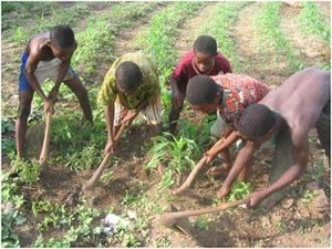
Unfortunately, almost 30% of children in Togo are forced to work from an early age.
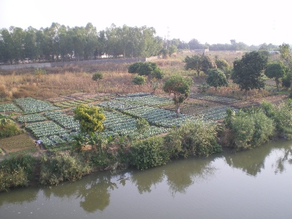
The upland farmlands in Togo are used for growing grain. Sorghum seemed to be the most dominate and the river bank was being used for intensive vegetable cultivation.
|
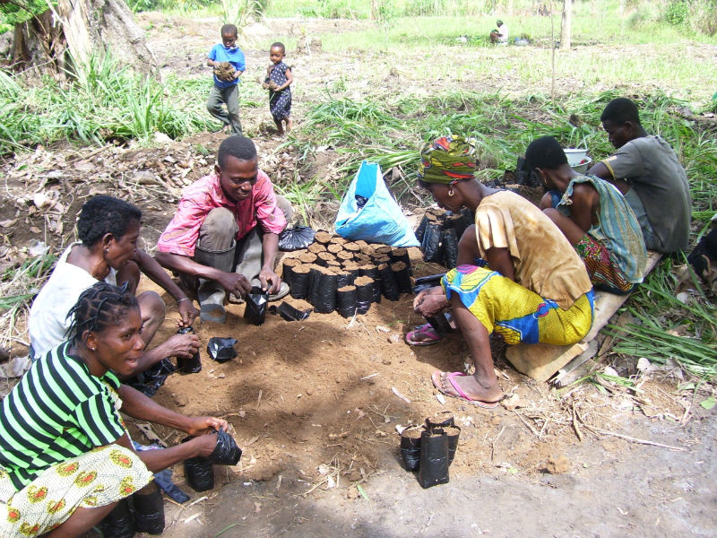
This project uses an agricultural technology known as alley cropping. Trees are planted in alleys and alternated with crops to improve soil quality, improve water retention, prevent erosion, provide wood for fodder and fuel, prevent deforestation, eliminate much labor and thus make a sustainable system of agriculture.
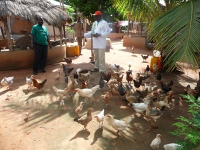
Farm located about 25 miles from Lome, Togo. Here, a farm project is held and you can volunteer to help get involved with the agriculture life.
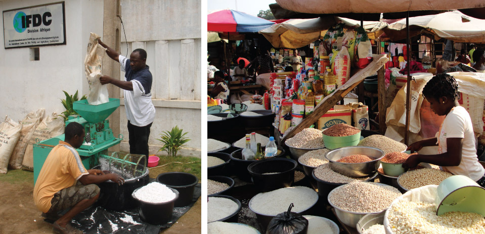
Togo's population is approximately 6 million, with 65 percent of its labor force dedicated to agriculture and 32 percent living in poverty.
|
